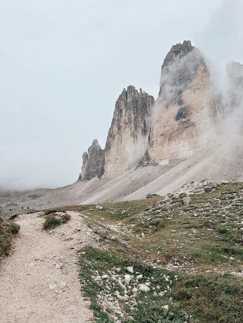
The best hiking in Portugal, Spain, France, Italy, Greece and the United Kingdom falls into four kinds: high mountain routes in the Alps and Dolomites (June to September), Mediterranean coastal paths such as the Cinque Terre, the Path of the Gods, Mallorca’s GR 221 and Crete’s Samaria Gorge (spring and autumn), Atlantic island trails in Madeira, the Azores and the Canary Islands (almost all year), and the fells and long-distance trails of the Lake District, the Scottish Highlands and the Cotswolds (May to September). Many famous trails now need a booking, a permit or a fee, so check before you go.
Below: where to hike in each country, the best months, the permits that catch visitors out and what to pack. Prices and rules are as of October 2026.
Hiking in Europe at a glance
- Easiest big views: Madeira’s short levada walks, the Lake Como Greenway, Lake District lakeside paths, the monks’ paths at Meteora and Arthur’s Seat in Edinburgh.
- Classic multi-day treks: the Tour du Mont Blanc (about 170 km, 10–12 days), Corsica’s GR20 (16 stages), the GR 221 across Mallorca, the Rota Vicentina in Portugal, the West Highland Way in Scotland and the Cotswold Way in England.
- Book or pay first: Madeira’s classified trails, the summit path on Teide, Roque Nublo, the Caminito del Rey, the Cinque Terre coastal path, Samaria Gorge, GR20 refuges and the huts on Mont Blanc’s normal route.
- Best months: June–September in the mountains and Britain; spring and autumn on Mediterranean coasts; all year in Madeira and the Canaries.
- Emergencies: 112 works in all six countries (999 also works in the UK).
How hiking works across these six countries
Each country marks its trails differently. In Portugal, PR routes are short and GR routes long-distance; Spain and France use the same idea, with red-and-white GR waymarks on long trails. In Italy, the Alpine Club (CAI) numbers trails and grades them, for example “E” for an ordinary hiking path such as the Path of the Gods. In England and Wales, National Trails such as the Cotswold Way follow an acorn symbol.
Safety basics
- Check the trail status the day before. Parks close trails after storms and rockfall: on 4 October 2026 Samaria Gorge in Crete was shut at both entrances after a red-alert storm warning, and in Madeira several classified trails were listed as closed or partly closed.
- Fire season: Portugal’s critical wildfire period normally runs from 1 July to 30 September; in Corsica fires and smoking on trails are banned from 15 June to 30 September; around Marseille, access to the hills is decided daily from 1 June to 30 September by a fire-risk map published at 18:00 for the next day.
- Heat: July highs average over 30 °C at Marseille, Meteora and on the Amalfi Coast. Start at dawn and carry at least two litres of water.
- Mountain weather: it can freeze at altitude in summer. Madeira’s statistics office recorded −3.9 °C on Pico do Areeiro, and the Dolomites average about 12 rainy days in July, often afternoon storms.
- Footwear rules: on the Cinque Terre’s park trails, flip-flops and smooth-soled shoes have been banned since 2019, with fines reported up to €2,500.
- Don’t hike alone on remote routes; tell someone your plan and finish before dark.
Best places to hike, country by country
Portugal
Madeira is the country’s hiking island. Paths run beside levadas (irrigation channels) through UNESCO-listed laurel forest, and the PR1 ridge links Pico do Areeiro with Pico Ruivo (6.1 km one way, about 3 hours). Since 1 January 2026, visitors over 12 pay €4.50 per classified trail, or €10.50 for the full PR1, booked online in advance on the regional SIMplifica portal with a time slot. Popular walks include Levada das 25 Fontes and Ponta de São Lourenço.
In the Azores, every island has official trails graded easy, medium or hard; the classics circle the crater lakes of Sete Cidades and Lagoa do Fogo. Mount Pico, Portugal’s highest mountain at 2,351 m, needs registration at the Casa da Montanha, where you get a GPS tracker; daily numbers are limited.
On the mainland, the Algarve‘s Rota Vicentina includes the 226.5 km Fishermen’s Trail along the clifftops (13 stages, groups of up to 15), and the Seven Hanging Valleys trail runs about 5.7 km from Praia da Marinha. Sintra has 13 free marked routes, including a 13.2 km loop from Cabo da Roca. Best: September to June on the mainland, all year in Madeira.
Spain
In Mallorca, the GR 221 “dry stone route” crosses the Serra de Tramuntana, a UNESCO cultural landscape since 2011. The Consell de Mallorca lists 261.1 km open and signposted, with a 150.1 km main route from Port d’Andratx to Port de Pollença, and a chain of refuges booked online (a dormitory bed at Galatzó costs €14). Best: October to May; summer is hot.
On Tenerife, Teide National Park has trails for every level and free guided walks. The short, steep summit path from the cable car’s top station (3,555 m) to the crater of Teide (3,715 m) needs a permit booked on the Tenerife ON platform, up to 56 days ahead; since 19 January 2026 it costs €15 for visitors, with 50 places per slot. Staying at the Altavista refuge includes the summit permit for an early-morning climb.
On Gran Canaria, the path to Roque Nublo, the island’s symbol, needs a free advance booking at controlled hours; the walk takes a couple of hours there and back. Near Málaga, the Caminito del Rey is a 7.7 km route of access paths and boardwalks above a gorge (3–4 hours). Tickets are named and sold only on its official site (€10, guided €18); children under 8 are not allowed, a helmet is compulsory and it closes on Mondays.
France
Chamonix has more than 350 km of trails, from easy family walks to the Tour du Mont Blanc, about 170 km through France, Italy and Switzerland in 10–12 days. Lac Blanc, about 1 hour 30 from La Flégère, is the most famous day hike, and lifts such as the Aiguille du Midi and the Montenvers train to the Mer de Glace open up high paths. Climbing Mont Blanc is mountaineering, not hiking: under a prefectural order, nights in the huts of the normal route need a named reservation that you must carry with ID. The Goûter hut was open from 30 May to 4 October 2026. Best: mid-June to mid-September, when most summer lifts run.
In Corsica, the GR20 runs in 16 stages from Calenzana to Conca, usually over 15–16 days; the regional park calls it one of the most difficult hiking trails in Europe. Overnight bookings are compulsory at every refuge (a bunk costs €20), wild camping is banned, and you can’t start from Calenzana after 11:00 because of fire risk. Refuges opened from 16 May to 4 October in 2026.
Near Marseille, the Calanques National Park describes a 44 km crossing to Cassis and La Ciotat in three very difficult stages. In summer, the Sugiton cove needs a free booking, and the hills close on red fire-risk days; the tourist office suggests September and October. In Provence, the Blanc-Martel trail through the Verdon Gorges runs 16 km one way (about 6 hours) with ladders and tunnels; it is not for children under 8. In Normandy, the GR21 follows the chalk cliffs for about 190 km past the Étretat cliffs, and walks across the bay of Mont-Saint-Michel must be made with a certified guide because of quicksand and tides.
Italy
The Cinque Terre coastal path (Sentiero Verde Azzurro) is open between Monterosso, Vernazza and Corniglia, and only these sections need the paid Cinque Terre Card (a one-day trekking card is €10 for adults). The Manarola–Corniglia section is closed with no reopening date; a 5 km inland detour via Volastra takes about 2½ hours. The short Via dell’Amore needs a booked half-hour slot, added to the card for €7.50. The park’s other 130-plus km of trails are free.
On the Amalfi Coast, the Path of the Gods (CAI trail 327) runs 5.3 km from Bomerano in Agerola to Nocelle above Positano, about 2 hours one way, graded E. It is free, needs no booking, and is not for people with vertigo; it closes after landslides and fires. Best in spring and autumn.
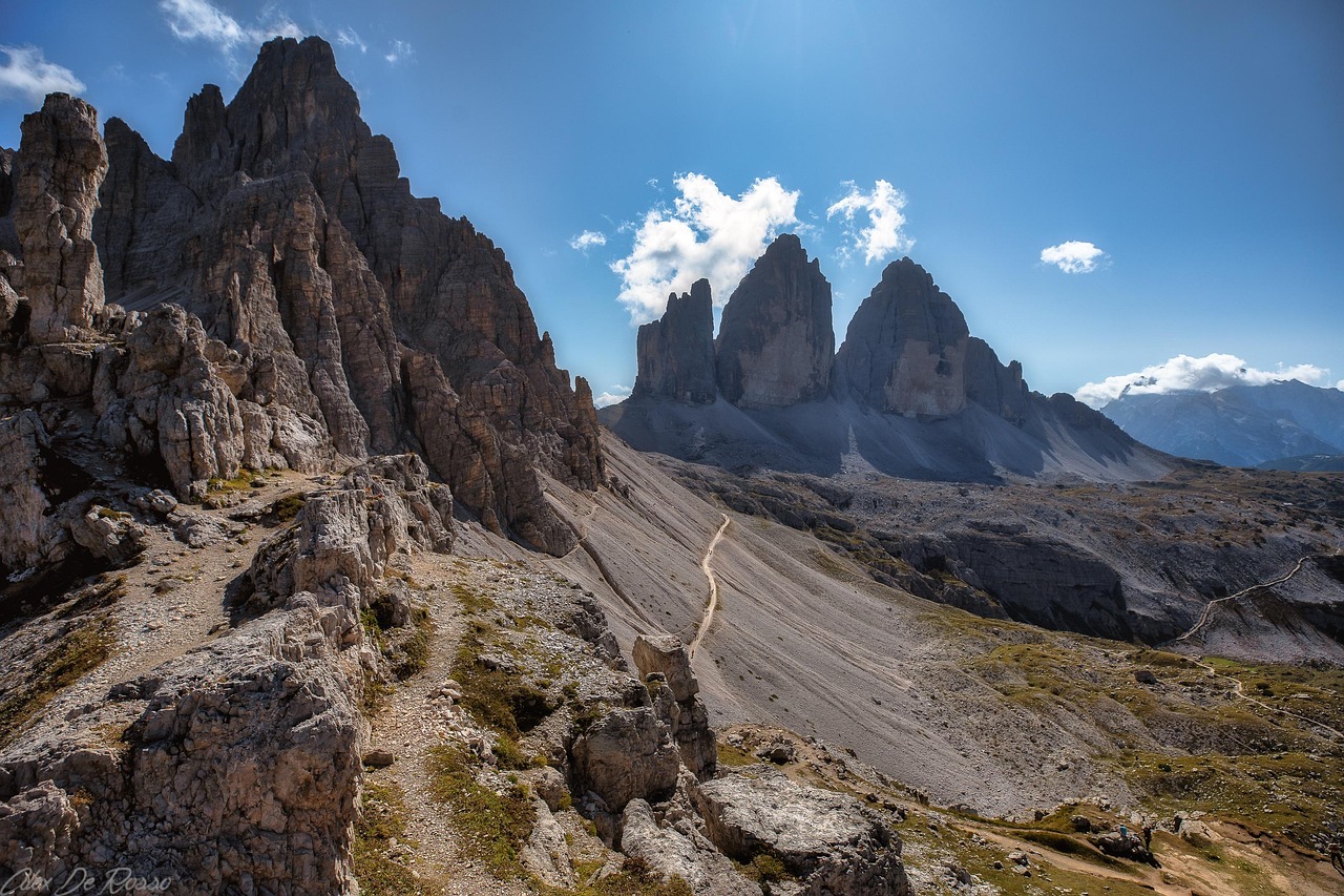
The Dolomites offer high routes up to about 3,000 m and hut-to-hut treks such as the Alta Via 1 (about 120 km, 8–10 days); huts open from about mid-June to late September. Driving to the Tre Cime di Lavaredo car park needs an online booking (€40 per car in 2026); from 1 July to 15 September, cars need a booking to reach Lago di Braies between 9:00 and 16:00; and the Seceda lifts from Ortisei cost €74 return. Around Lake Como, the easy 10 km Greenway can be walked all year. In Sicily, town orders on Etna allow access above about 2,500 m only with an authorised Alpine or volcano guide, with a protective helmet.
Greece
Samaria Gorge in Crete is Greece’s most famous hike: about 13 km from Xyloskalo (1,227 m) down to the sea, plus 2 km to Agia Roumeli, taking 6–7 hours. The park may open from 10 April to 31 October, with the dates set each year. Entry for the full route is 07:00–13:00, tickets cost €10 (under-18s free) online or at the gate, and you return by boat. On 4 October 2026 the gorge was closed after a red-alert storm warning, to reopen after inspection.
At Meteora, old monks’ footpaths link the monasteries above Kalambaka and Kastraki; guided half-day walks of about 7 km are easy. The Corfu Trail crosses Corfu for about 200 km in around 10 days. On Naxos, Mount Zas (1,004 m), the highest point in the Cyclades, takes about 1½–2 hours up from the Aria spring, and Kefalonia has Mount Ainos, the highest peak in the Ionian Islands. Best: April to June and September to October; summer is too hot for long walks.
United Kingdom
The Lake District National Park lists walks for every ability, from lakeside strolls to classic fells such as Catbells and Helvellyn, with 50 “Miles without Stiles” routes for wheelchairs and pushchairs; Scafell Pike (978 m) is England’s highest summit. In the Scottish Highlands, Ben Nevis (1,345 m) is a long, hard climb of 7–9 hours on the Mountain Track; VisitScotland advises summer, and winter ascents are for experienced mountaineers only. The West Highland Way (154 km) and the Great Glen Way (127 km) are the long-distance classics.
On the Isle of Skye, the walk to the Old Man of Storr takes 1½–2 hours and the Quiraing loop about 7 km; car parks are paid (£6 for up to 6 hours at the Storr, £8 at the Fairy Pools). The Cotswold Way National Trail runs 102 miles (164 km) from Chipping Campden to Bath, and the South West Coast Path follows the whole coast of Cornwall as part of its 630 miles (1,014 km). For a city hike, climb Arthur’s Seat (251 m) in Edinburgh.
When to go hiking: season table by region
Average highs and rainy days are 1991–2020 climate normals from each national weather service (IPMA, AEMET, Météo-France, Aeronautica Militare, HNMS and the Met Office) at the nearest station, usually at low altitude; mountain trails are much cooler. Greek rain days are 1955–2010 averages.
| Region (station) | Best months | Average high, Jan / Jul | Rainy days, Jan / Jul | Good to know |
|---|---|---|---|---|
| Madeira (Funchal) | All year; May–Sep driest | 20.0 / 25.4 °C | 6–9 / under 1 | Trail fees and booking |
| Azores (Ponta Delgada) | May–Sep | 17.5 / 24.7 °C | 11–15 / 5–7 | Pico climb needs registration |
| Algarve (Faro) | Sep–Jun | 16.3 / 29.4 °C | 5–7 / under 1 | Summer too hot inland |
| Mallorca (Palma) | Oct–May | 15.8 / 31.6 °C | 6 / under 1 | Book GR 221 refuges |
| Tenerife (south coast) | All year | 22.8 / 28.2 °C | 2 / 0 | Teide summit near freezing in winter |
| Chamonix valley (Bourg-Saint-Maurice) | Mid-Jun–mid-Sep | 5.7 / 26.7 °C | 9 / 10 | Afternoon storms in summer |
| Corsica (Ajaccio) | Jun, Sep | 14.0 / 28.6 °C | 7 / 1 | GR20 refuges mid-May–early Oct |
| Marseille and the Calanques | Mar–May, Sep–Oct | 11.8 / 30.7 °C | 5 / 1 | Fire closures Jun–Sep |
| Cinque Terre (Sarzana-Luni) | Apr–Jun, Sep–Oct | 11.3 / 29.0 °C | 7 / 2 | Card for the coastal path |
| Amalfi Coast (Capri) | Mar–May, Sep–Nov | 13.7 / 31.7 °C | 8 / 1 | Path of the Gods closes after landslides |
| Dolomites (Dobbiaco) | Jun–Sep | 0.6 / 22.6 °C | 4 / 12 | Huts mid-Jun–late Sep |
| Crete (Heraklion) | May–Jun, Sep–Oct | 15.4 / 29.4 °C | 16 / under 1 | Samaria open Apr–Oct at most |
| Meteora (Trikala) | Apr–Jun, Sep–Oct | 10.3 / 33.0 °C | 12 / 5 | Very hot in July |
| Lake District (Keswick) | May–Sep | 7.4 / 19.8 °C | 17 / 14 | Rain all year: pack waterproofs |
| Isle of Skye (Aultbea) | May–Sep | 7.8 / 17.3 °C | 21 / 15 | Midges in summer |
| Scottish Highlands (Aviemore) | Jun–Sep | 5.3 / 18.8 °C | 17 / 13 | Ben Nevis summit far colder |
Permits, fees and rules to check before you go
- Madeira: book classified trails on SIMplifica (€4.50, PR1 €10.50); no refunds for bad weather unless the trail is closed.
- Mount Pico (Azores): register at the Casa da Montanha and carry the GPS tracker.
- Teide (Tenerife): summit permit on Tenerife ON, €15 for visitors, carry it with your passport or ID.
- Roque Nublo (Gran Canaria): free booking for the path during controlled hours.
- Caminito del Rey (Málaga): named tickets from the official site only; bring the ID you booked with.
- GR20 (Corsica): book every night on the regional park’s system; no wild camping.
- Mont Blanc: named hut reservations, checked on the route with your ID.
- Calanques (Marseille): check the daily fire-risk map from June to September; book Sugiton in high summer.
- Cinque Terre: Cinque Terre Card for the open coastal sections; book a slot for the Via dell’Amore; grippy shoes only.
- Dolomites: book the Tre Cime road toll, and Lago di Braies in July to mid-September.
- Etna: above about 2,500 m, only with an authorised guide and a helmet.
- Samaria Gorge: €10 ticket; keep the exit slip; no overnight stays.
- Skye: pay for parking at the Storr, the Quiraing and the Fairy Pools; overnight stays in vehicles are not allowed at the Storr.
How to book guides and get to trailheads
For hard routes, hire a qualified local guide: Chamonix has eight guide companies, Etna’s high craters require one, Mont-Saint-Michel’s prefecture lists certified bay guides, and in Portugal guided-activity companies must be registered with Turismo de Portugal (check the free RNAAT search). Many trailheads have few buses, and linear routes such as the Path of the Gods, the PR1 and Samaria Gorge (which ends at Agia Roumeli, reached only by boat) need a way back.
What to pack for hiking
What to pack
- Day packs and anti-theft bagsA 20–30 litre pack carries layers, water, a head torch and snacks on full-day levada walks.
- Fleeces and warm layersSummits like Pico do Areeiro averaged about 11 °C over 2024, so a fleece is needed even in summer.
- HeadlampsLevada routes such as PR1 and PR9 pass through long, dark, wet tunnels.
- Hiking shoes and bootsMadeira's levadas and the Azores' crater rims are wet, rocky and slippery, so grippy shoes matter more than anywhere else in Portugal.
- Rain jacketsMountain and island weather changes fast; a real shell beats an umbrella in the wind.
- Trekking polesLong stone staircases and steep descents on Madeira's peaks and the Azores' crater rims are easier on the knees with poles.
- Water bottles and hydration packsAlgarve and Alentejo trails are hot and exposed with few refill points.
Footwear comes first: hiking boots or trail shoes with real grip for wet rock, scree and steep steps (they are compulsory on the Cinque Terre trails). See our guide to hiking shoes. Add a waterproof jacket and a warm layer for any mountain or British walk (our rain jackets guide helps), at least two litres of water and sun protection for Mediterranean summers, a head torch for Madeira’s levada tunnels, a first-aid kit, a charged phone, and your permit with your ID.
Hiking in Europe: questions and answers
Where is the best hiking in Europe for beginners?
Madeira’s short levada walks, the Lake Como Greenway, the monks’ paths at Meteora, lakeside walks in the Lake District and Sintra’s marked loops are all easy and well signed. For a first multi-day trip, the Cotswold Way and the flatter stages of the Rota Vicentina have villages and inns along the way.
Do I need a permit to climb Mount Teide?
Yes, for the last stretch from the cable car’s top station to the crater. Book the permit on Tenerife ON up to 56 days ahead; since 19 January 2026 it costs €15 for visitors. A night at the Altavista refuge includes the permit for a sunrise climb.
Is the Cinque Terre coastal path open?
Partly. As of October 2026, Monterosso–Vernazza and Vernazza–Corniglia are open with the Cinque Terre Card, the Via dell’Amore opens with a booked slot, and Manarola–Corniglia is closed, with a detour via Volastra. Check the park’s trail status page on the day.
When is Samaria Gorge open?
It can open from 10 April to 31 October, with exact dates set each year by the park authority, and closes on days of bad weather. Entry for the full route is from 07:00 to 13:00. On 4 October 2026 it was closed after a storm warning, so check the official ticket site.
Do I need a guide for the Path of the Gods?
No. It is a free, marked CAI trail of about 5.3 km from Bomerano to Nocelle. Walk it in the cooler months, start early, and skip it if you have vertigo or after heavy rain.
Can I hike the GR20 without booking?
No. The Corsica Regional Natural Park requires a booking for every overnight stay along the route, and wild camping is banned, so reserve each night on its booking site before you start.
What is the best month to hike in the Dolomites?
July to mid-September, when the huts and lifts are open and most snow has gone. June and late September are quieter but some huts and passes are still closed.
How hard is Ben Nevis?
It is a long, steep day of 7–9 hours to the UK’s highest summit at 1,345 m. Go in summer with full waterproofs, food and a map; in winter it is serious mountaineering.
Which emergency number should I call?
112 works in Portugal, Spain, France, Italy, Greece and the UK; in the UK you can also call 999. In British mountains, ask for the police and then mountain rescue.
More ideas for your trip: cycling, wine tasting and city sightseeing.
Sources and last review
Researched and last reviewed by TravelerCenter on 4 October 2026. Trail rules, fees and seasons come from the official bodies that run them: IFCN, Madeira’s statistics office and the Azores Regional Government in Portugal; the Consell de Mallorca, the Teide National Park and Tenerife ON, the Gran Canaria tourist board and the Caminito del Rey’s official site in Spain; the Calanques National Park, the Bouches-du-Rhône prefecture, the Corsica Regional Natural Park, the FFCAM and the Chamonix tourist office in France; the Cinque Terre National Park, the Comune di Riomaggiore, the CAI, the Etna park and town orders, and the Dolomites lift and road operators in Italy; NECCA and the Greek National Tourism Organisation in Greece; and the Lake District National Park, VisitScotland, National Trails and the Highland Council in the UK. Climate data are 1991–2020 normals from the national weather services. A few figures from secondary sources are flagged in our source notes. Trails close and fees change, so check the official pages before you go.